While we relish in the social interactions like in the last blog post, we would be liars if we didn't say that that it is also slightly disheartening. I say this because there has been an obvious shift from being alone out in the wild west usually without direct communication with people for days at a time to being back on the accessible east coast. Same time zone, cell service galore, always a few minutes drive from a fast food place, plots of land and forest to camp in are traded for more private housing plans, closer to populated areas more often than the middle of no where... It feels odd.
Then there are the parks on the east coast. They may not be as spectacular scenery wise or as massive size wise, yet they are still small safe harbors of wilderness for those who need to escape. While we might not be as "wowed" by the surrounding habitats, and may even find them mundane since the terrain is looking more and more like what we grew up knowing, we still seek these havens and thrive in them.
So back to the parks we go. While we may be entering more familiar terrain, we are still being schooled daily. Seriously, all those quotes and songs lyrics that go something like "the more I see, the less I know" is so true. To give a silly example, at our next park we learned that we were pronouncing and probably misspelling the place's damn name wrong for years! We thought it was Con- A- Gree while in reality it is Con- Ga- Ree.
Congaree National Park, no matter which way you say it, is an astonishing floodplain that protects the largest intact expanse of old growth bottomland hardwood forest remaining in the southeastern United States. The large "champion" trees (which are of all different types from Loblolly Pines to Water Tupelos) only remain intact because the logging companies could not get their heavy equipment through the wet and muddy land surrounding the rivers here.
Today trails, bridges, and boardwalks (for where it is especially mucky) guide you through this last tract of saved hardwoods. Not only do people take advantage of the easy paths laid out by the NPS, we encountered many creatures too like snakes, squirrels, snails, spiders, skinks (see the "S" theme going for the day!), or evidence of raccoons and pigs utilizing the man made features.
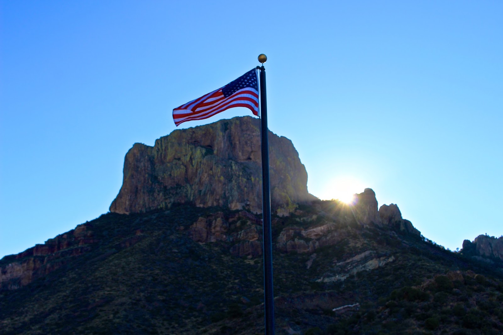
With the winds howling warnings and the skies threatening above, we retreated to the nearby Poinsett State Park for the night to camp. Our reasoning was that staying in a place that was a known floodplain was probably not a good idea during a storm. Even with us retreating to higher grounds, some wicked weather did roll through that night (see photo, that is not a usual waterway, but where our campfire ring is being submerged).
When we returned to the Harry Hampton Visitor Center in Congaree the next morning, we were informed that a tornado did touch down less than a mile from where we were. Funny, because it was probably one of the best nights sleep I ever got... Guess we felt safe enough and the underlying fact that I just I love storms helped. With a full day ahead, we took the longer route through the park and explored the River Trail and the Oakridge Trail.
Both of which we had to ourselves and while the hiking was easy where the trail was clear, there were many large downed trees as obstacles along the way to make it interesting and a good workout.

Downed trees, old and new, are common here due to the soil and flow of water through the area. Evidence of continued attempts to clear some of logs and branches were all around. We are safe when we hike, but I am known for my limited range of vision and clumsiness so something was bound to happened sooner or later... Well, for anyone that helps build or maintain trails, here is a lesson for you: if you are ever cutting smaller branches off a fallen tree to clear a path DO NOT lop off the tangles branches and leave short death spikes. Because as I saw and was attempting to duck under a large limb, I missed seeing the smaller yet still dangerously pointed spear looming out from under that limb. The sharp point actually went right into my neck. I felt my body pressing in to it and instantly did this awkward matrix limbo lean back move so as not to puncture myself. The pressure of the branch was enough to only scratch my skin slightly yet it compressed my throat for a bit (therefore making me emit the most terrifying gasping sounds as my trachea tried to force air through again).
It hurt, and gasping for air is never a fun experience but it was worse for Karl...
All he sees from behind me is a point going into my neck and me collapsing and gasping. Yea, Karl pretty much admitted he thought he was witnessing a scene from Final Destination and was expecting to see blood squirting from my sliced throat. Yet, here I am typing the tale, so at least it makes for an interesting story!
Also during our visit the Rangers informed us of a new trail that is about to be blazed in the National Park thanks to grant money from REI. I thought that was a pretty cool fact!
Oh, by the way, that night back at our campsite in Poinsett I made friends with a frog in the bathroom! She (I only say that cause it was the ladies room) was tiny and adorable.
Fast forward again a bit past previously mentioned visits with cousins and find ourselves in Great Smoky Mountains National Park. Before we start, let's throw some "Did Ya Know" facts out there about this place. #1: GRSMNP does not have an entrance fee, as it was the first National Park to be developed with federal government money and upon its creation it was declared that there would NEVER be a fee or toll to enter (FREE for ALL). #2: GRSMNP is by far the most visited National Park (the proximity to so many eastern cities is the main reason for this, plus the free thing). #3: GRSMNP is also the most polluted National Park (once again, #1 & #2 may have something to do with this) #4: GRSMNP receives more rainfall than any other place in the continental US other than the Pacific Northwest & parts of Alaska.
So here we are about enter the busiest, dirtiest, and rainiest parks... Already sounds interesting, right?
Immediately upon attempting to find a parking spot at the Visitor Center, Karl & I were cringing at the influx of people and commotion. We weren't sure if we were going to like this place.
The VIPs (volunteers in parks) and Rangers inside the Visitor Center were swamped with lines of people out the door asking questions and seeking advice, us included. Listening to the numerous questions being asked before us, I applaud those helping the visitors as not once did I see a smile fade or a question that was asked for the thousandth time be answered without enthusiasm. I work in Customer Service and was impressed, BRAVO. The VIP that got us with our nagging questions like "what is YOUR favorite part of this park", was sweet and once he found out what we were doing with our year knew that we needed more advice than he could provide and he directed us to the backcountry office.
It was like entering a different world, the backcountry office was quiet with no line. The Ranger that we began talking to spoke in monotone and was concise. Yet, once again, the longer the conversation went on and the more he found out about us (and our Element), the more sparkle you could see in his eyes. How rangers like this guy converse and question visitors in order to determine what is the best advice and recommendations to give each person is wildly impressive . It was as if once he deemed us capable, new doors of personalized possibilities were recommended to us that weren't put on the table at first. With recommendations and backcountry permits secured, we were already more excited about GRSMNP. Just another reason I love the National Park Rangers.
Since more than half the day was done, we began our introduction to the park with a short 12 mile round trip hike to Mt. Cammerer. After a decent bit of elevation gain, a fire tower awaits you with wonderful views.
Also, the wild flowers were wonderful. These simple delightful details of nature were making this place look better and better.
When in Rome, do as the Romans do, right? So why not add our attendance to the most visited destination in the park: Cades Cove. This scenic drive is a one way 11 mile route to experience the park with Ele. Yet, not wanting to stay in the car the whole time we took small opportunities to hike to some of the key destinations along the loop (for example we hiked along the Rich Mountain Loop Trail to visit John Oliver's Cabin), rather than park at crowded lots provided there. It is odd to walk a long distance through the quiet woods only to end up at a crowded place. Still pretty though.
It is warned that any attempt to drive Cades Cove may take a lot longer than its short distance may anticipate. This is mostly due to bear jams. We were the 3rd car in line when a bear jam occurred, as a momma black bear and her three cubs caught everyone's attention through all the trees and branches.
Once things were moving again, we were able to continue along to Abrams Falls. The 5 mile round trip jaunt is very popular and the numerous amphibian sightings made up for the congested trail.
While the 20ft waterfall is supposed to be the reward at the end, it was way too crowded with people to be very enjoyable. It wasn't as much the number of people, but the actions of the people that were there that made the waterfall less spectacular than it should have been. (littering, the noise, rudely getting into other people photos, bringing dogs even though the signs say no pets everywhere, etc). Oh, well, we snuck at least one decent photo of the falls (I may or may not have had to photoshop people out... haha)
Halfway through the loop of Cade Cove there is the Cable Mill, and it is still chugging along! This mill is worth the entire drive on its own, seeing the only working mill in the region. Also, all the other historic buildings like the barn, blacksmith shop, smokehouses and equipment that goes with it all was a photo opportunity gold mine (and very interesting too).
That night we camped at the Cades Cove Campground and prepped for the days to come.
We were going backpacking!
Our suggested route would be a short 2 day trip that would take us along the Appalachian Trail
To a rocky outcrop called Charlies Bunion
Then to a cliff drop off called The Jump Off
Ending for the night at backcountry shelter just between the pile of rocks that distinguish the summit of LeConte and the rustic LeConte Lodge.
Luck or just good timing was with us because while the shelter can accommodate up to a dozen bodies, we only had to share it with one other awesome couple. And it was welcoming shelter for 4 people to stretch out in!
We all went to a place called Cliff Tops for sunset, and the color changes as the light left was glorious.
With sunset leaving such an impression, we were eager as well for sunrise. Putting a few miles in before first light, we made our way to a different spot, Myrtle Point to watch the day begin.
Although things like sunrises and sunsets happen everyday, there is something enchanting about them. Witnessing them in such a place reminds you of the every day magic that we should not take for granted.
Taking a different route back down from LeConte, we spent the day going steeply down hill.
Seeing impressive trail engineering
Walking through Alum Cave
And following the water trickling through the laurels.

Ending up at a trail head that was miles away from where we parked Ele might seem like a problem. I saw it more as an opportunity... to hitch hike! The backcountry ranger that recommended this route for as (because it was one of this favorites) told us that hitchhiking is neither encouraged nor discouraged within the park and that we could get a ride back to our car if we just felt like sticking our thumbs out. Karl not as outwardly enthusiastic as me in wanting to try to hitch a ride, suggested that we hike along the road and just see what happens. Seeing what happens is code for Stacy giddily sticking her thumb out as she side steps backwards along the side of the road after Karl. I had a good old time! Knowing that we could get back to Ele under our own power only made the possibility of someone picking us up a fun thought, not a necessity. So, I was hamming it up. I would smile and wave and make eye contact with the profusion of cars caravanning by. From shrugs of guilt, to waves of merriment, to honks of annoyance, to some drivers even trying to hide their eyes from me... I was entertained by it all. Karl just laughed at me. Tons of cars passed me by, but then one actually pulled OVER!
Pretty sure I did a happy dance along the side of the road at my success.
Our kind hitchhiker-picker-uper was a girl named Nina that was on her way to meet some of her friends that were out backpacking, and she didn't mind giving us a ride! Chatting for the few miles with her was wonderful, and make one happy to know that there are other kind souls with the same shared passions out there. Since she was camping with friends, we thanked her with some extra dehydrated meals we had (and hopefully some good karma followed her too).
Not sure why, but hitchhiking made my whole day. And now I can check that off my "to do list" (although, I wouldn't say no to doing it again if I had to!)
With hiking down hill and Nina giving us a ride, we were back a lot earlier in the day than we planned, so we decided to take the walk up to Clingmans Dome, an observation tower that is at 6,643 ft making it that highest point in the National Park.
For entering this park with misgivings, it is impressive that I left this park with such joy. And as I have reminded myself and told Karl multiple times, even if it is crowded with people, at least they are outside, they are enjoying nature, and they are supporting the parks. But even if it is the most visited park, those smoky ridges hide wonderful places to escape and make you feel all alone, you just need to seek them out. Greater Smoky Mountains, you truly impressed me.
Before we got too far away from the area, there was a request for some stone ground grits from Karl's mom & stepdad. Well, they got what they asked for... In Pigeon Forge, we stopped at a mill and 25lbs of grits found their way into Ele!
In case you were wondering, we decided to drive all of the Blue Ridge Parkway (well, all that was open, I believe we had to detour for about 3 miles due to construction at one point).
Along the Blue Ridge Parkway at one point you could see a wildfire blazing across the valley below. It was an eerie sight to behold at night along the road, especially after just leaving the Gatlinburg area where a fire last fall destroyed 17,000 acres of public and private land. If you haven't heard of this fire, Google it... it is heartbreaking and makes my stomach turn, especially after seeing some of the charred remains. What stupidity the human race can inflict on each other and nature will never cease to amaze me... Another reason to protect our parks and educate our kids.
Away from the fires and into the fog, since we told you that we drove The Blue Ridge, why not include the fact that we took Skyline Drive as well! Honestly, it may be an impressive scenic drive, but the sky along Skyline had other plans... mist.
The clearest view we got was just more clouds moving in...
But it led us to another National Park: Shenandoah!
The drive along Skyline Drive was a hint of what was to come, and the forecast from the Rangers at the visitor center confirmed... chilly clouds and rain all week with ONE day of sunshine.
Making the best of the weather window, we packed it full of must hit hikes (especially the main one that is not recommended to do in the rain): Old Rag.
The Old Rag Summit/Scramble/Hiking trail was listed in all books and literature I read about this park. Photo opportunities for me, scrambling for Karl, and hiking 7.5 miles... sounded perfect for us.
This is one of those rare trails that when they say strenuous and good trail finding experience needed, it means it. When there was a trail, it was well trodden and easy other than the steady incline. But, when the dirt turn to rocks and boulders, the path led you in unexpected places and scrambling, crawling, and climbing were requirements, not suggestions.
But the skies were blue with fluffy clouds casting shadows on the valleys below.
Worth the full body work out.
The next day the weather was still holding back the rain, so we hiked along the Rose River Loop and Dark Hollow Falls Trail to check out some waterfalls.
After our hike we sought out the Shenandoah's Headquarters to ask about volunteer opportunities for Earth Day (April 22) based on recommendations from the Rangers at the Visitor Center. Apparently, since the park is in a transition period between volunteer coordinators, nothing was planned. But, the Rangers at headquarters were grateful for us wanting to help and gave us contact information for organizations that maintain the Appalachian Trail. We contacted them, but didn't get an answer... So, we planned our own day.

Earth Day ended up being the day when the sky broke and the clouds descended with force. One could hardly see your own hand stretched out in front of your face through the fog and the relentless rain can dampen more than just one's clothes. So, what to do when you can't see any pretty views? Well, if you are going to looking down at your feet either way, might as well make what you are looking at pretty by taking trash bags out hiking and picking up any and all litter we could find along the AT.
We didn't stop there though, we also took multiple boxes of individually packaged Hostess chocolate cupcakes (we did the individually sealed ones, so that the rain wouldn't ruin the yummy goodness) and handed them out to any thru-hiker we encountered in hopes that it would brighten their rainy day and the sugar boost would make the miles they were trudging along a little easier.
Although we didn't meet many people on the trail, those we did seemed to appreciate the gesture. Admittedly, a few were confused when wet strangers lugging trash bags approached them and would ask "Are you a thru-hiker?" as if that was a trick question. But when chocolate was revealed as the reason, all suspicion disappeared. We got to meet multiple individual thru-hikers and chatted with them in the rain as cupcakes were handed out. Here's to Blueberry, Blue Jeans, Big Country, Don Quixote, Toga, and a thru-hiker that said he hasn't been given a trail name yet but was from Millvale near our hometown so in our minds we deemed him "Pittsburgh Slim"... Hopefully the trail is treating you all well! Even if was a gloomy weather day, you brightened our mood and we hope our small attempt at mobile trail magic did the same for you!
BTW: we are
YouTube celebs now... One of the thru-hikers had a vlog. We are awkwardly featured (we didn't realize he was filming us... hence the pause and giggles as we realized he didn't just want a photo)!
Left over cupcakes were taken to the Visitor Center, where they were having a Jr. Ranger Day and we thanked the Rangers for being awesome (and got sworn in as Jr. Rangers too).
After a straight day of pouring rain, everything was soaked. So, even though we were passing through the New River Gorge (a place we would have loved to explore the climbing options) we could only look. Still pretty though.
Another state, another National Park: Mammoth Cave, Kentucky!
This will probably be our last cave experience on this trip, but why not end on the longest cave system in the world?
Through rec.gov we reserved spots on the cave tour that would allow us the most time (4.5 hours) and cover the most distance, the Grand Avenue Tour. The geology within the cave is a lot different than those we saw before, less condensed cave formations that people ohh and ahh over and more long corridors.
There were some original cave formations that we haven't seen in other caves, like the cave flowers.
But there were cave crickets and many stories told about the history of the cave and continued exploration of the unknown underground.

I still love me my caves, being down in such a different environment will never cease to awe me. But, I have to say the tour was disappointing. Don't get me wrong, I would go there again, but the Ranger that was "the caboose" was a bit of a downer. Let me explain... The Ranger leading the tour in the front at the very beginning said that slow hikers should stay up front with him, and that faster hikers who wouldn't mind stopping or needing to catch up quickly should stay in the back. So that is what we did. I like to do that anyways (so I can attempt to take photos) yet the ranger in the back would not even let me stop for more than a few seconds, even though the last person at the tail end of the main group was less than 15 feet from me. And his insisting to move along wasn't even nice, he would say things like, "Come on, I have better places to be." I know he was just doing his job, but the dude seriously dude put me in a sour mood!
Despite him not letting me stop to take any long exposure shots, I did my best to snap a few images.
Back on the surface, we hiked around and checked out the historical natural entrance.
And got some somber history about early cave exploration tragedy turn spectacle, and national attention brought to the area along the Sand Cave trail. Google It.
Our umpteenth National Park experience was wrapping up, yet we were far from done with Kentucky... There was much more to take in (or should I say drink in?) But, you will have to read about that in our next blog.
<3 S